DJI Mavic 3M – Precision Agriculture from Above
Modern farming requires more than observation—it demands actionable data. The DJI Mavic 3M brings together RGB and multispectral imaging to deliver the insights growers need to monitor crops, manage inputs, and increase yields with greater efficiency. Compact, portable, and field-ready, it’s built for the challenges of today’s precision agriculture.
Dual Vision for Smarter Farming
The Mavic 3M sees beyond the visible spectrum, combining a 20MP RGB camera with four 5MP multispectral sensors (green, red, red edge, near-infrared). This allows farmers to:
- Monitor crop health and detect early stress.
- Generate vegetation indices such as NDVI for precision input planning.
- Survey orchards, fields, and plantations with unmatched clarity.
Multispectral Bands
- NIR (860nm ±26nm): Detect plant stress not visible to the eye.
- Red Edge (730nm ±16nm): Capture photosynthesis activity.
- Red (650nm ±16nm): Identify crop growth patterns.
- Green (560nm ±16nm): Enhance vegetation monitoring.
Built-In Precision Tools
- Sunlight Sensor: Adjusts for varying light conditions to ensure consistent NDVI results.
- RTK Module: Delivers centimeter-level positioning—perfect for mapping large farms without ground control points.
- Synchronization in Microseconds: Guarantees pinpoint accuracy for every captured pixel.
Reliable Flight Performance for Farm Operations
- Flight Time: Up to 43 minutes on a single charge.
- Coverage: Survey up to 200 hectares per flight.
- Fast Charging: 100W hub + 88W direct aircraft charging.
- Transmission Range: O3 system supports 15 km stable connectivity.
With omnidirectional obstacle sensing and terrain-follow mode, the drone adapts to complex landscapes—from rice paddies to hillside orchards.
Key Agricultural Applications
Orchard Mapping
Reconstruct high-resolution maps of orchards—even on slopes. Identify individual trees, separate them from obstacles, and generate 3D operation routes for spraying drones, making orchard management faster and safer.
Variable Rate Applications
Capture multispectral data on crops such as rice, cotton, or potatoes. Generate prescription maps via DJI Terra or SmartFarm to guide drones in variable-rate spraying, reducing input waste while boosting yield and protecting the environment.
Intelligent Field Scouting
Automate field scouting with real-time uploads to the DJI SmartFarm Platform. Detect issues such as:
- Poor emergence
- Weed infestations
- Crop lodging
AI-powered identification tools analyze crop conditions, enabling one operator to manage up to 70 hectares with ease.
Environmental Monitoring
Beyond crops, Mavic 3M can be used to monitor water resources, soil conditions, forest coverage, and biodiversity, supporting sustainable farming practices.
Open Ecosystem Integration
- Cloud API: Connect directly to third-party farm management platforms without extra apps.
- Mobile SDK 5: Customize and build control apps tailored to your farming operations.
DJI Mavic 3M – Features at a Glance
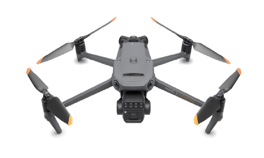
- Foldable & Portable: Easy to carry across fields.
- Multispectral Camera: 4 × 5MP (G/R/RE/NIR).
- RGB Camera: 20MP 4/3 CMOS with mechanical shutter.
- Stable Operations: Omnidirectional obstacle avoidance + 15km transmission.
- Precision Mapping: RTK-enabled centimeter-level accuracy.
- Efficient Coverage: Map up to 200 hectares in a single flight.
Transform Agriculture with Aerial Intelligence
The DJI Mavic 3M gives farmers the power to see more, know more, and do more. By combining multispectral imaging with intelligent software, it transforms raw field data into clear decisions—helping you optimize inputs, protect crops, and maximize yields sustainably.